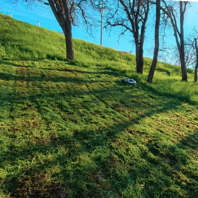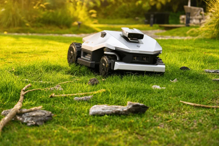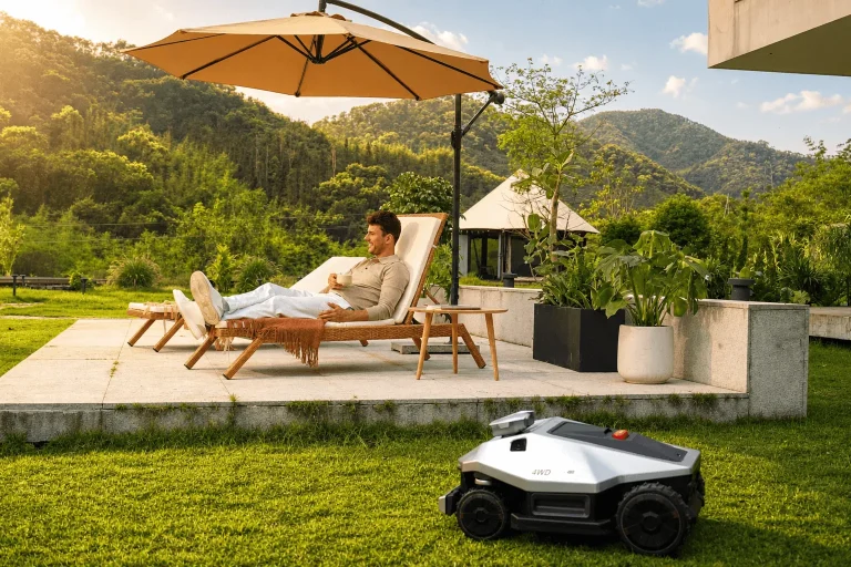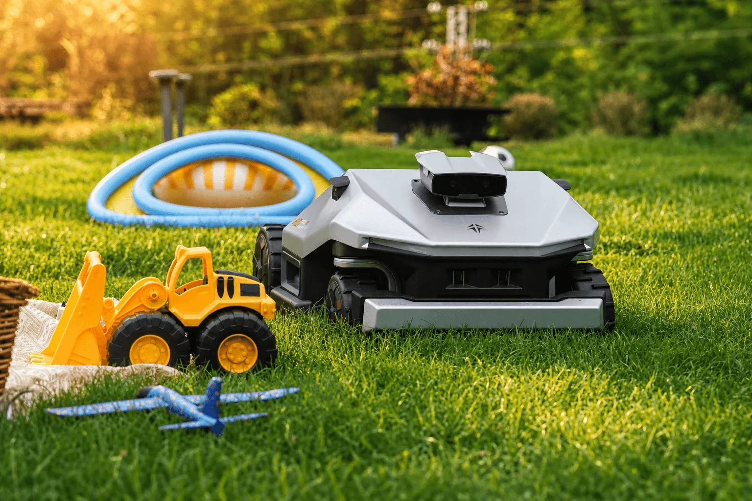
Picture a robot mower gliding in clean, confident stripes across an open lawn — then it rolls under the shade of a big oak, hesitates, drifts, and parks itself in the flowerbed. That one moment under the tree tells you more about robot mower technology than any spec sheet ever could. Cutting grass is the easy part. Knowing exactly where it is — on every square inch of a real yard, in sun and shade, season after season — is the hard part. And the way a machine solves that problem comes down to three competing navigation technologies: RTK, VSLAM, and LiDAR. Understanding how they differ is the fastest way to understand why the GoKo M6 was engineered the way it was.
Cutting grass is easy. Knowing where you are is hard.
For two decades, robot mowers relied on a buried perimeter wire. You trenched a loop around the lawn, the mower bounced off the signal like a bumper car, and that was “navigation.” It worked, but it was rigid, ugly to install, and a nightmare to repair when a stray shovel or a frost heave cut the loop.
The arrival of the wire free robot lawn mower changed everything — but it also moved the entire engineering challenge onto positioning. Take away the wire, and the mower needs another way to know where the lawn ends and the petunias begin. That “another way” is satellite positioning, computer vision, laser scanning, or some blend of all three. So when you compare modern mowers, you’re really comparing navigation philosophies.
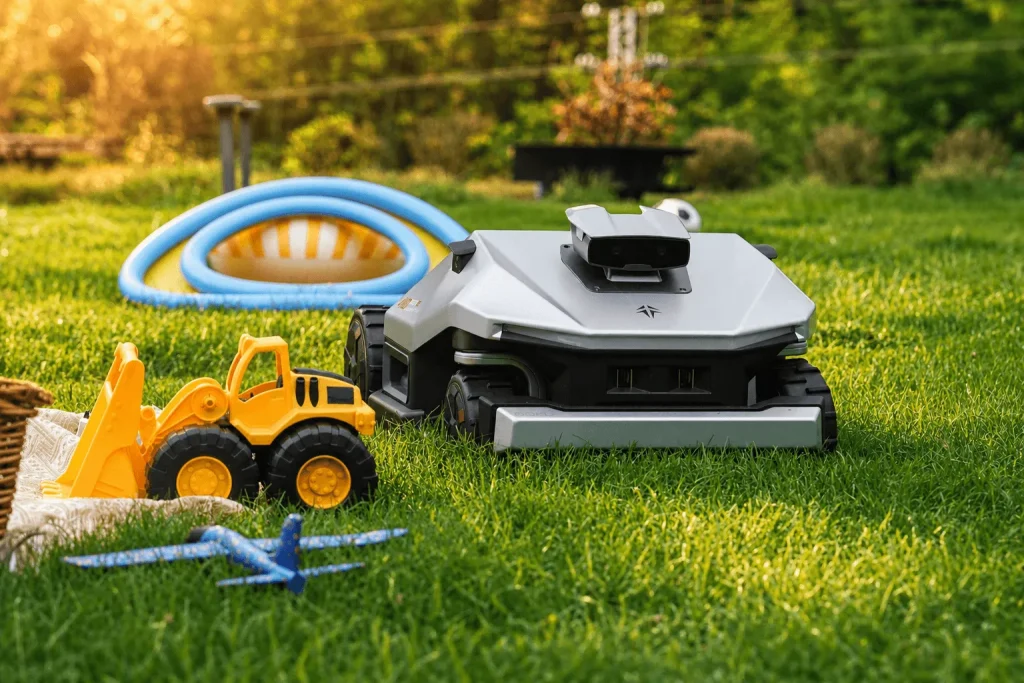
RTK: centimeter-accurate satellite positioning
A standard GPS robot mower knows its location to within a few meters — fine for a phone map, useless for steering a blade past a garden bed. RTK (Real-Time Kinematic) positioning fixes that. An RTK robot mower pairs the mower (the “rover”) with a fixed base station antenna mounted at a known point in your yard. The base station measures the tiny timing errors in the satellite signal and broadcasts a live correction to the mower, sharpening accuracy from meters to roughly 1–2 centimeters.
That precision is what makes wire-free boundaries possible. Instead of digging a trench, you walk the perimeter once in an app and draw virtual no-go zones around the pond, the trampoline, and the vegetable patch.
Where RTK shines: wide-open turf, repeatable straight lines, and rock-solid global positioning that doesn’t drift over time.
Where RTK struggles: satellites need a clear view of the sky. Dense tree canopy, tall fences, roof eaves, and narrow side yards block or bounce the signal (a problem called multipath). When an RTK mower loses its “fix,” its accuracy collapses — and you get the under-the-oak wandering we started with.
VSLAM: teaching a mower to see
VSLAM (Visual Simultaneous Localization and Mapping) takes the opposite approach: instead of looking up at satellites, it looks around with cameras. The system continuously matches visual features — fence corners, tree trunks, patio edges — from frame to frame, building a map of the yard while tracking the mower’s place inside it. It’s the same family of tech that lets robot vacuums and drones find their way.
Where VSLAM shines: exactly where RTK fails. Under canopy, beside buildings, in shaded corners — anywhere satellites can’t reach, cameras can still recognize the surroundings. Vision also adds intelligence: a camera can tell lawn from gravel, or spot a sleeping dog.
Where VSLAM struggles: light and texture. Cameras get confused at dusk, in glare, in fog, or after dark. A big, uniform lawn also gives them very little to “grab onto,” and small errors can accumulate into drift over long runs. Seasonal changes — a green lawn in June versus a brown one in October — can throw off a vision-only map.
LiDAR: mapping the world with laser light
LiDAR (Light Detection and Ranging) fires rapid laser pulses and times how long they take to bounce back, building a precise distance map (a point cloud) of everything around the mower. It’s the sensor at the heart of self-driving cars and premium robot vacuums.
Where LiDAR shines: geometric precision and obstacle detection. Because LiDAR makes its own light, it works in total darkness, and it measures distances to nearby objects with millimeter-class accuracy — excellent for not bumping the kids’ bikes.
Where LiDAR struggles: cost and conditions. LiDAR hardware is pricier, and laser returns can be degraded by heavy rain, dust, fog, or very dark and highly reflective surfaces. Crucially, LiDAR tells the mower about its immediate surroundings, not its absolute position on the planet — it knows there’s a wall two meters away, but not which corner of which lawn it’s standing in.
RTK vs VSLAM vs LiDAR at a glance
| RTK (GNSS) | VSLAM | LiDAR | |
| How it works | Satellite signals + base-station correction | Cameras matching visual features | Laser pulses measuring distance |
| Accuracy | ~1–2 cm (global) | Good locally, can drift | Very precise locally |
| Best at | Open lawns, straight lines | Shaded/blocked areas, recognizing objects | Obstacle detection, working in the dark |
| Weak spots | Canopy, eaves, walls, narrow yards | Low light, low-texture lawns, drift | Cost, rain/dust, no global position |
| Needs a base station? | Yes | No | No |
| Works after dark? | Yes | Poorly | Yes |
The catch: no single sensor wins a real backyard
Read that table and the conclusion writes itself — every technology’s biggest weakness is another technology’s biggest strength. RTK is unbeatable in the open but blind under trees. Vision sees under trees but drifts in the dark. LiDAR maps obstacles flawlessly but has no idea where it is on the map.
A real backyard isn’t a tidy open field. It’s an open stretch plus a shaded corner plus a narrow gap along the house plus an evening cut after the sun drops. Any mower built on a single sensor will be excellent in one zone and unreliable in the next. That’s precisely why the most capable autonomous systems on earth — robotaxis included — don’t pick one sensor. They fuse several, letting each cover the others’ blind spots.
How the GoKo M6 fuses the three approaches
This is the design logic behind the GoKo M6. Rather than betting the whole lawn on satellites alone, the GoKo M6 is built as a fusion-navigation machine that layers the strengths we just walked through.
RTK satellite positioning acts as the global backbone, giving the mower centimeter-accurate coordinates and reliable, wire-free boundaries across open turf. When the mower moves into a satellite-shadowed zone — under that oak, beside the fence — AI-driven vision steps in to keep it located and on track, exactly where a pure GPS robot mower would stumble.
The result is the practical promise buyers actually care about: a wire free robot lawn mower that stays confident across the whole yard, not just the easy parts — no buried wire to install, and no frustrating drift when the lawn gets complicated.
What fusion navigation means for your lawn
For a homeowner, the technology debate cashes out in everyday reliability. A fusion-based RTK robot mower like the GoKo M6 is built to handle the awkward yards — the ones with mature trees, shaded beds, tight side passages, and split lawns — that defeat single-sensor mowers. There’s no perimeter wire to trench or repair, boundaries are drawn and edited in an app in minutes, and the obstacle layer keeps the cut safe around children, pets, and clutter. Because RTK provides a stable global reference while vision fills the gaps, the mower can keep working when satellites alone would leave it stranded — including after dusk.
FAQ
Is the GoKo M6 a GPS robot mower or an RTK robot mower?
Both — RTK is an enhanced form of GPS/GNSS. A basic GPS robot mower is accurate to a few meters; the RTK system in the GoKo M6 adds a base-station correction to reach centimeter-level precision.
Do I need to bury a perimeter wire?
No. The GoKo M6 is a wire-free robot lawn mower. You set virtual boundaries and no-go zones in the app instead of digging a wire loop.
Will it still work under trees and along the house?
That’s the entire point of fusion navigation. Where satellite signal weakens, the GoKo M6’s vision system keeps it positioned, so it doesn’t drift or stall in shaded, blocked areas the way a satellite-only mower can.
Does the GoKo M6 use LiDAR?
It pairs RTK positioning with vision-based navigation and obstacle sensing to achieve LiDAR-style spatial awareness. Confirm the precise sensor suite on the official spec sheet before stating it outright.
The Final
RTK, VSLAM, and LiDAR aren’t rival products you choose between — they’re complementary tools, each brilliant in one setting and blind in another. The smartest robot mowers stop arguing about which is best and simply combine them. By fusing RTK’s centimeter-accurate satellite positioning with intelligent vision and obstacle sensing, the GoKo M6 is designed to deliver what the wire free robot lawn mower era always promised: a machine that knows exactly where it is, on every part of your lawn, in every kind of light.